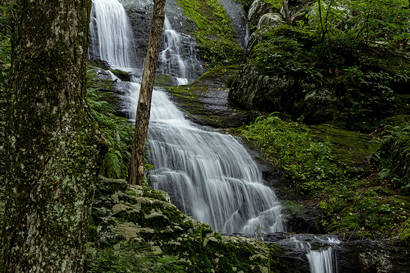
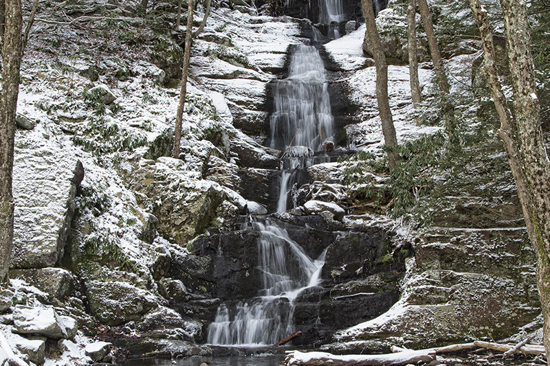
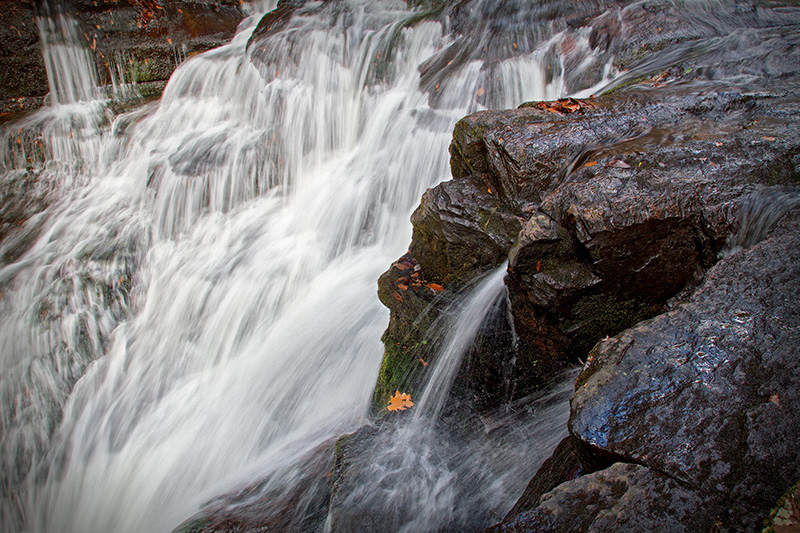
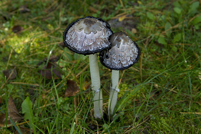
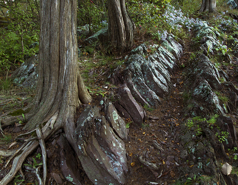
Delaware Water Gap National Recreation Area


Click on image to open in lightbox
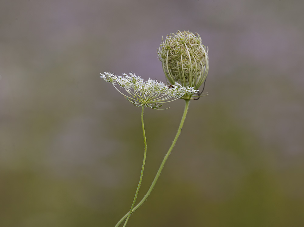
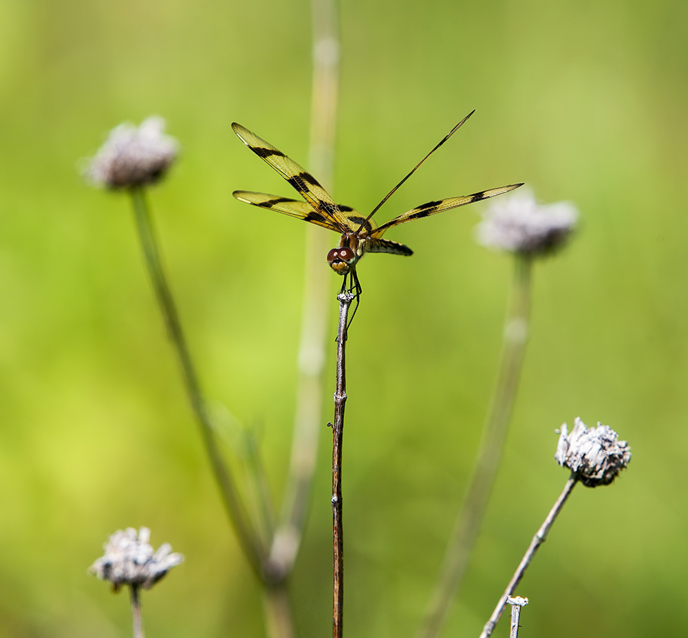
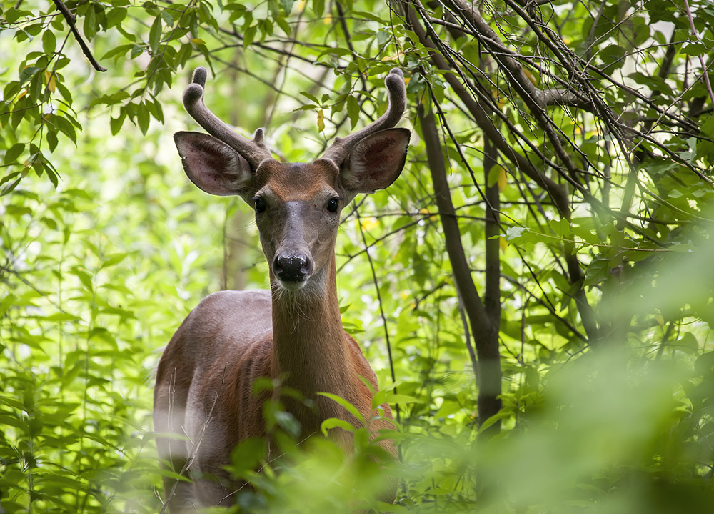
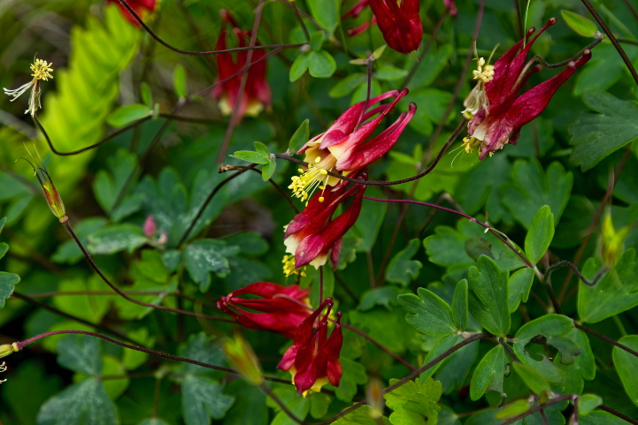
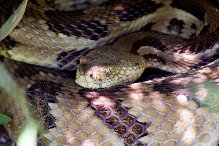
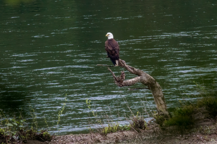
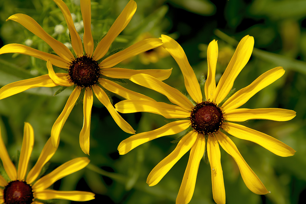
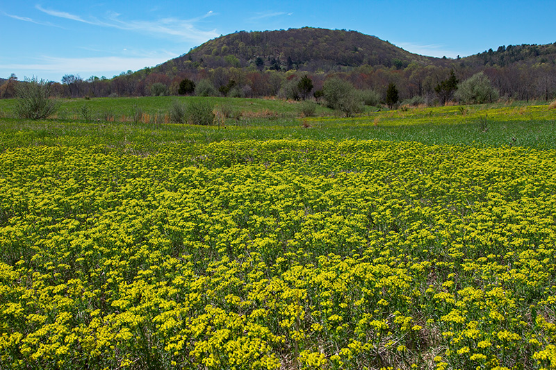
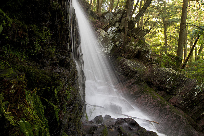
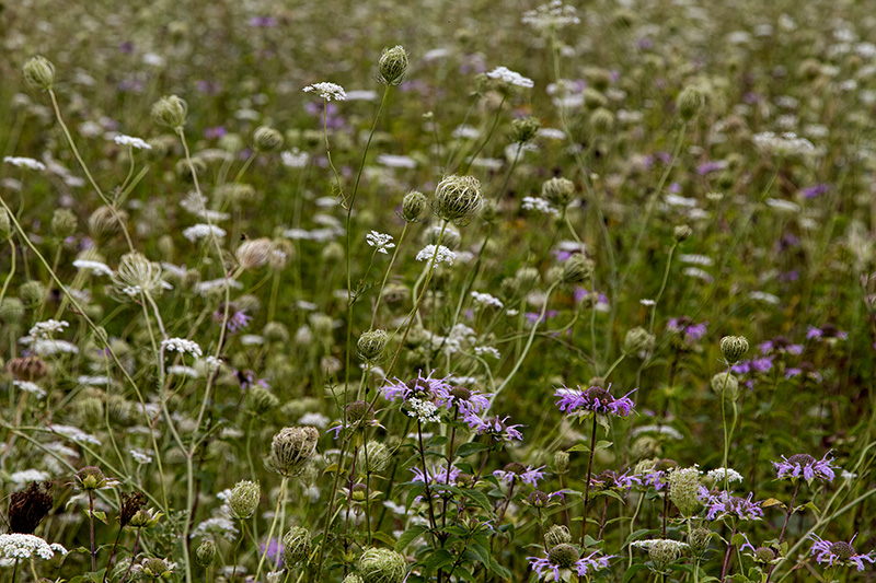
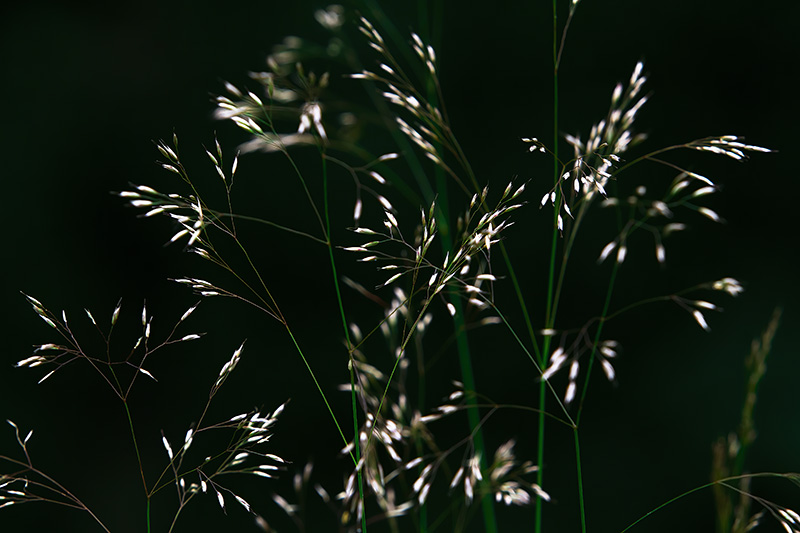
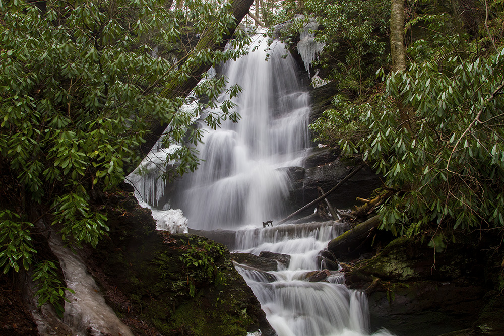
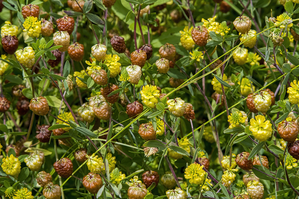
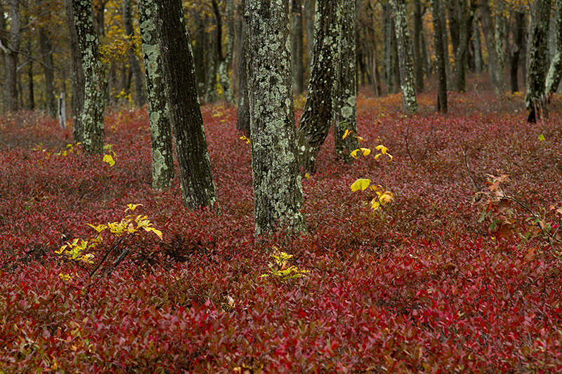
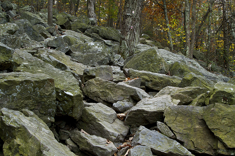
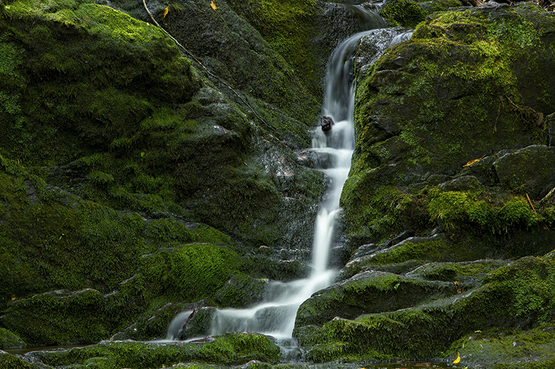
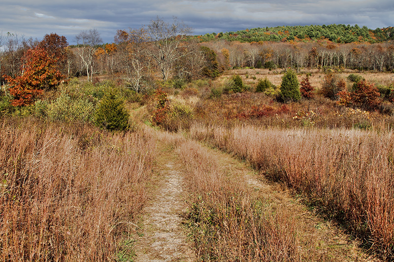
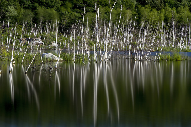
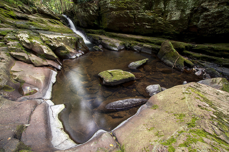
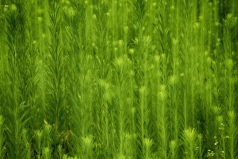
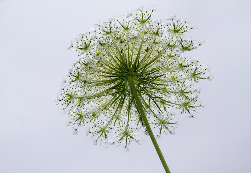
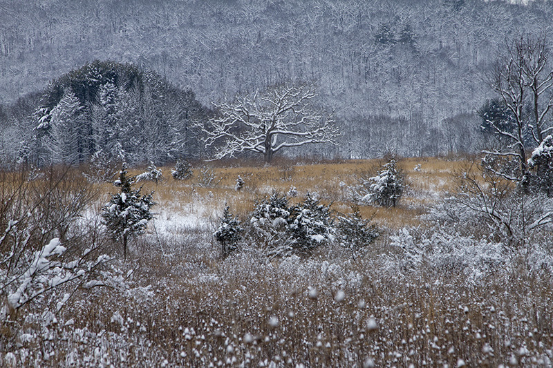
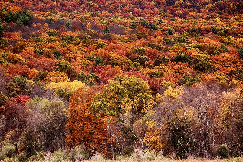
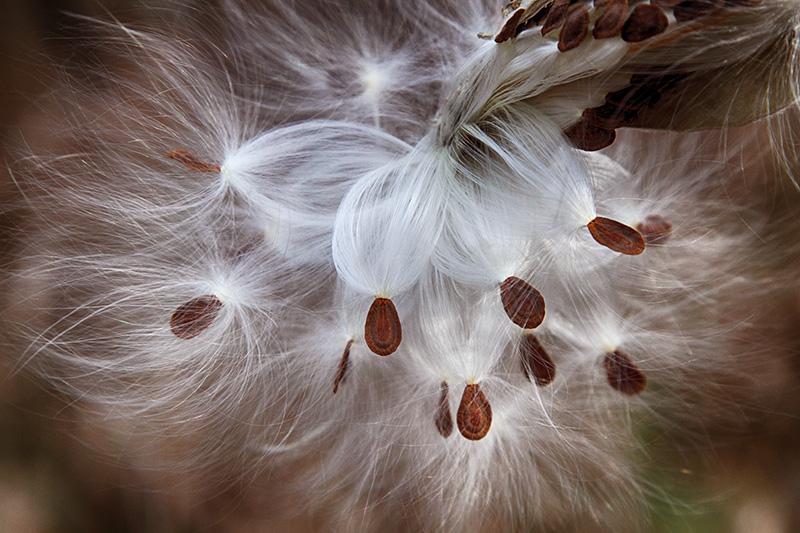
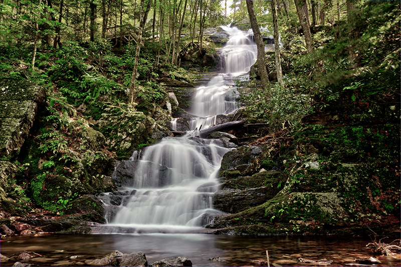
Born from controversy, the Delaware Water Gap National Recreation Area (DEWA), which is part of the National Park Service, offers year-round recreation from hiking to boating to wildlife watching. Within its 70,000 acres it cradles diverse plant and wildlife, fascinating geologic features, and a complicated history.
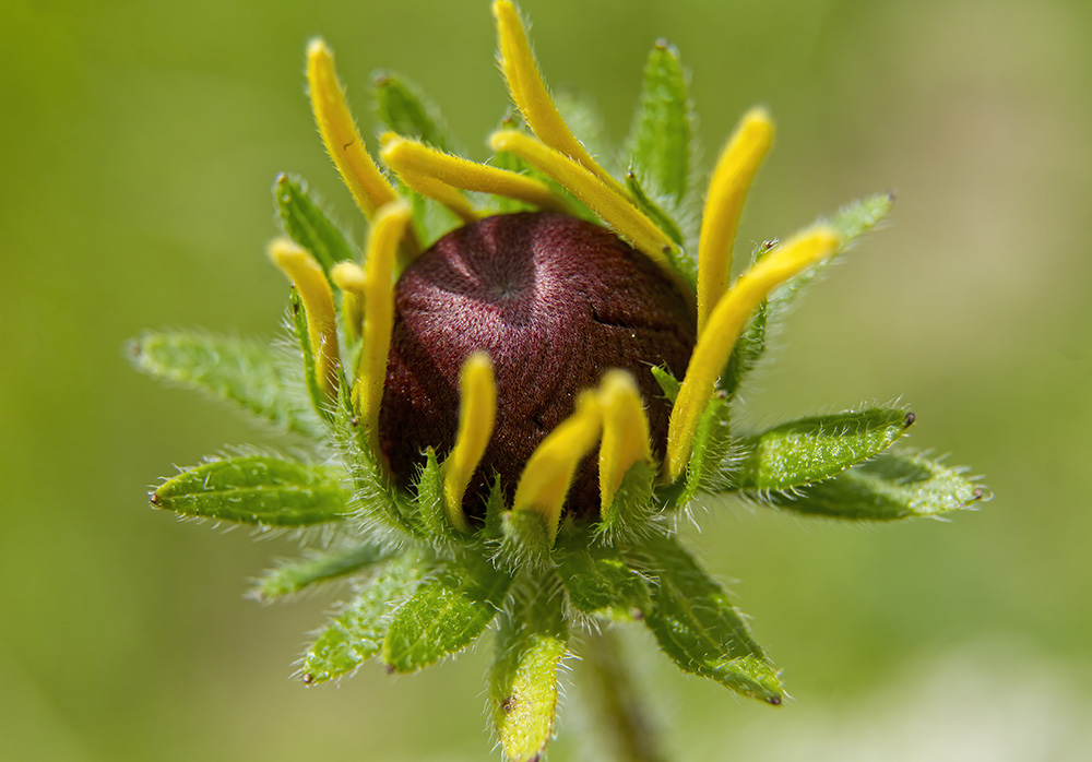
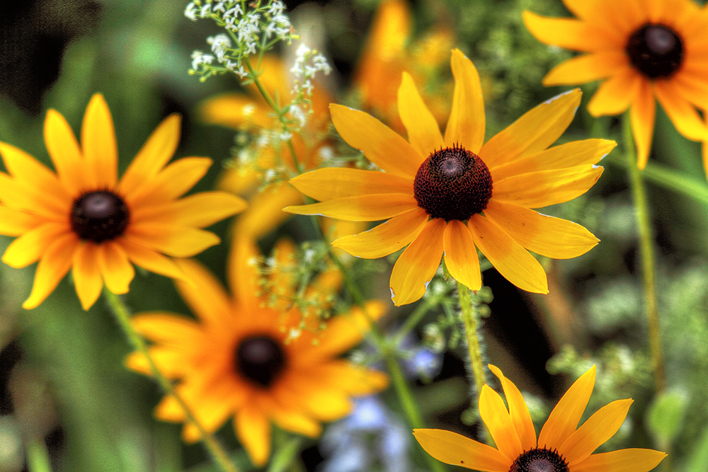
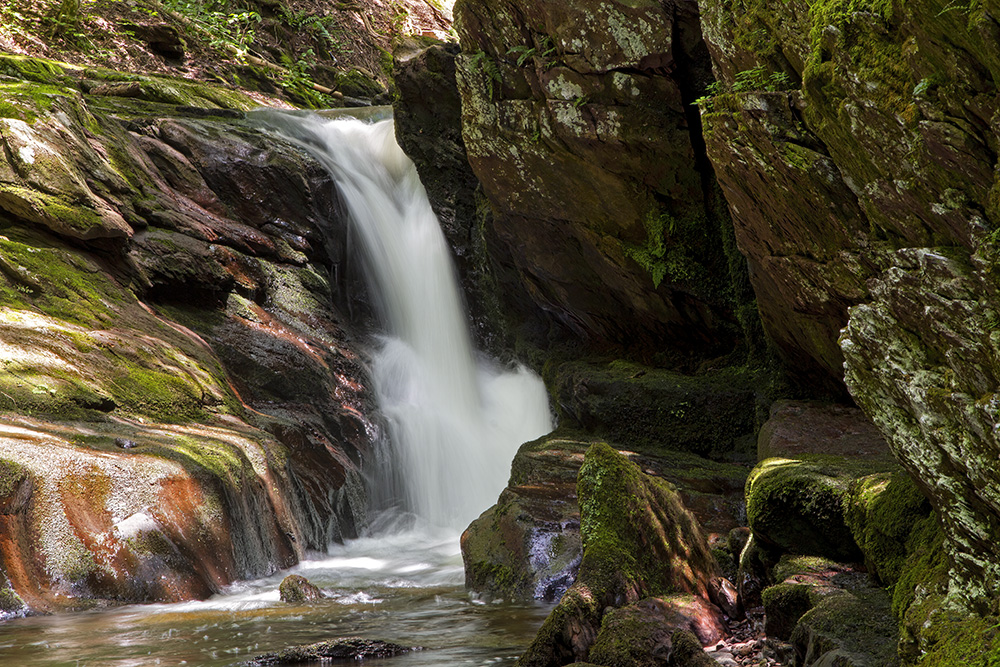
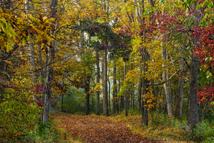
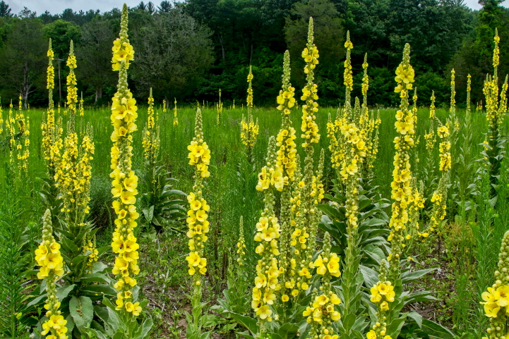
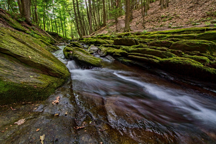
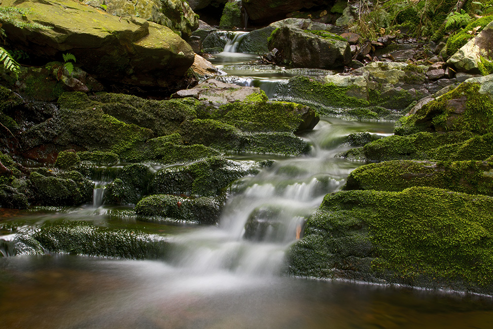
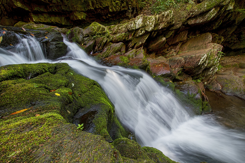
Around the Gap
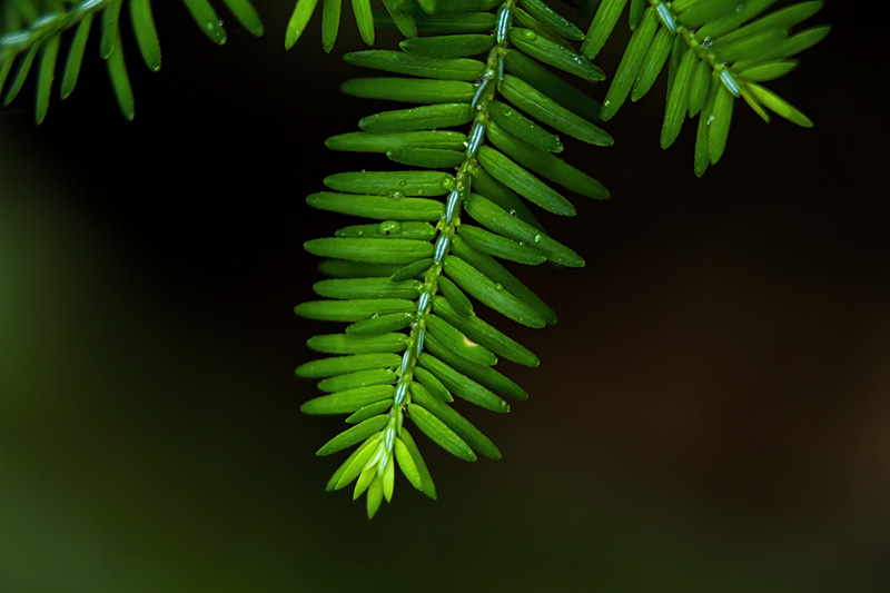
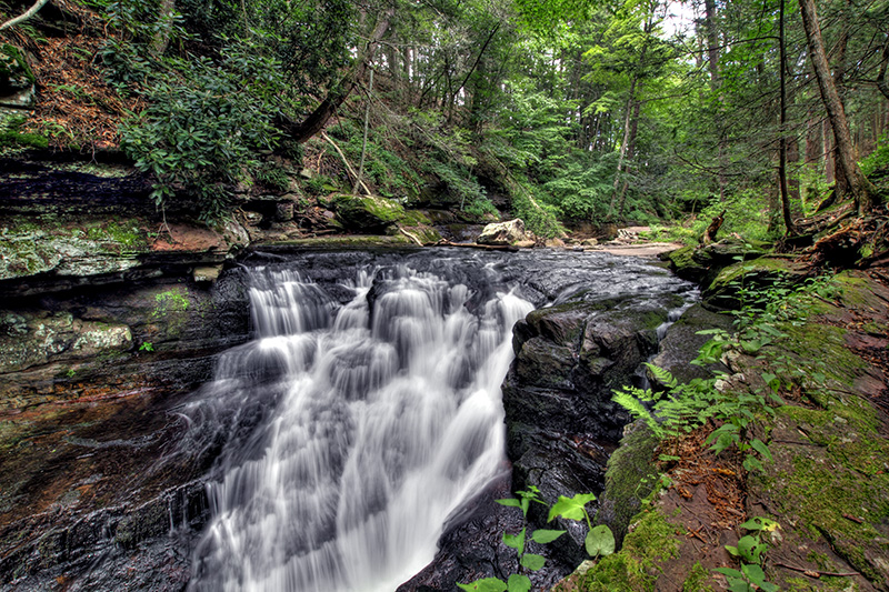
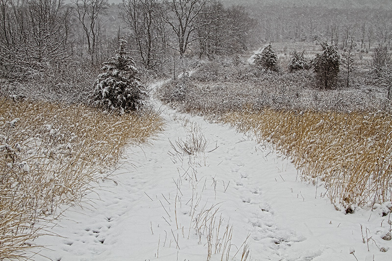
All photos copyrighted by Dawn J. Benko, unless otherwise noted
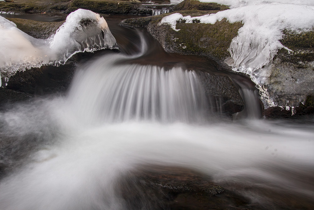
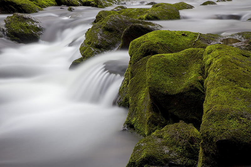
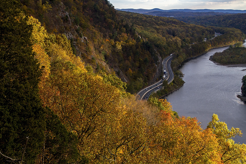
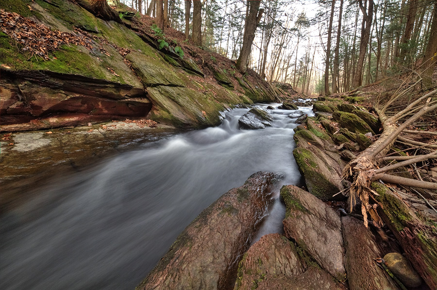
How the Gap was formed
A water gap is formed when water carves its way through a mountain range. The Delaware Water Gap is known for its depth, width, and scenic beauty. It is more than 1,200 feet from mountaintop to the river surface, nearly a quarter mile wide at river level and about a mile wide from the top of Mt. Tammany to the top of Mt. Minsi. Sand and rock move with the river flow, continuing to scour out the riverbed and making the water gap larger over time.
The graphic below comes from the park’s Guide to the Gap
